
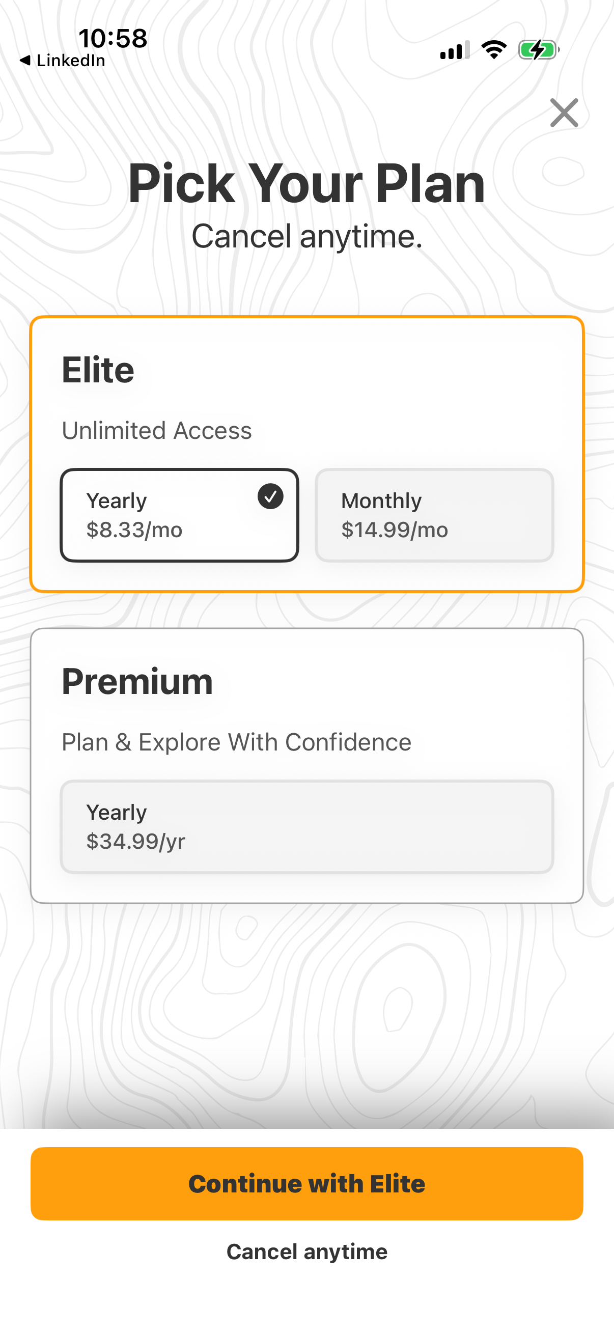
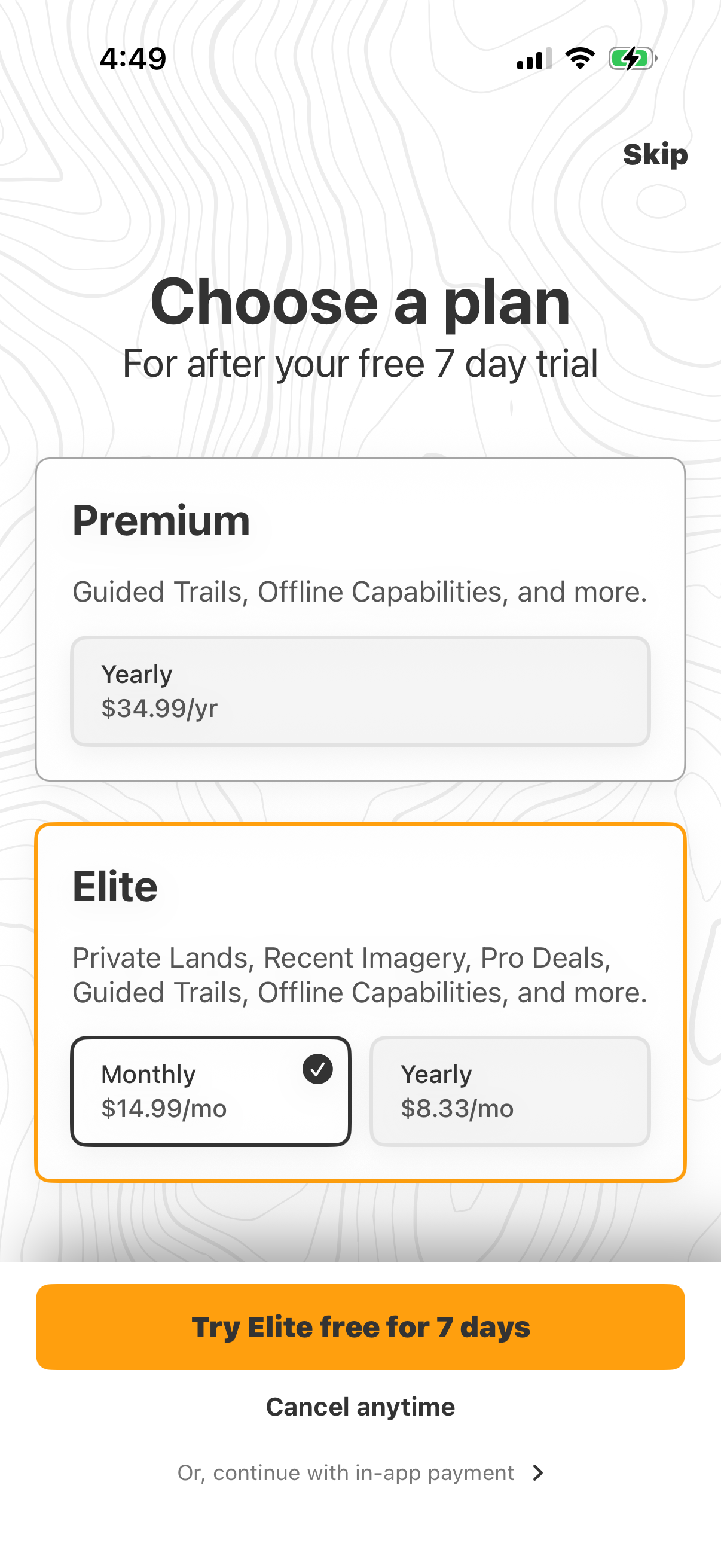
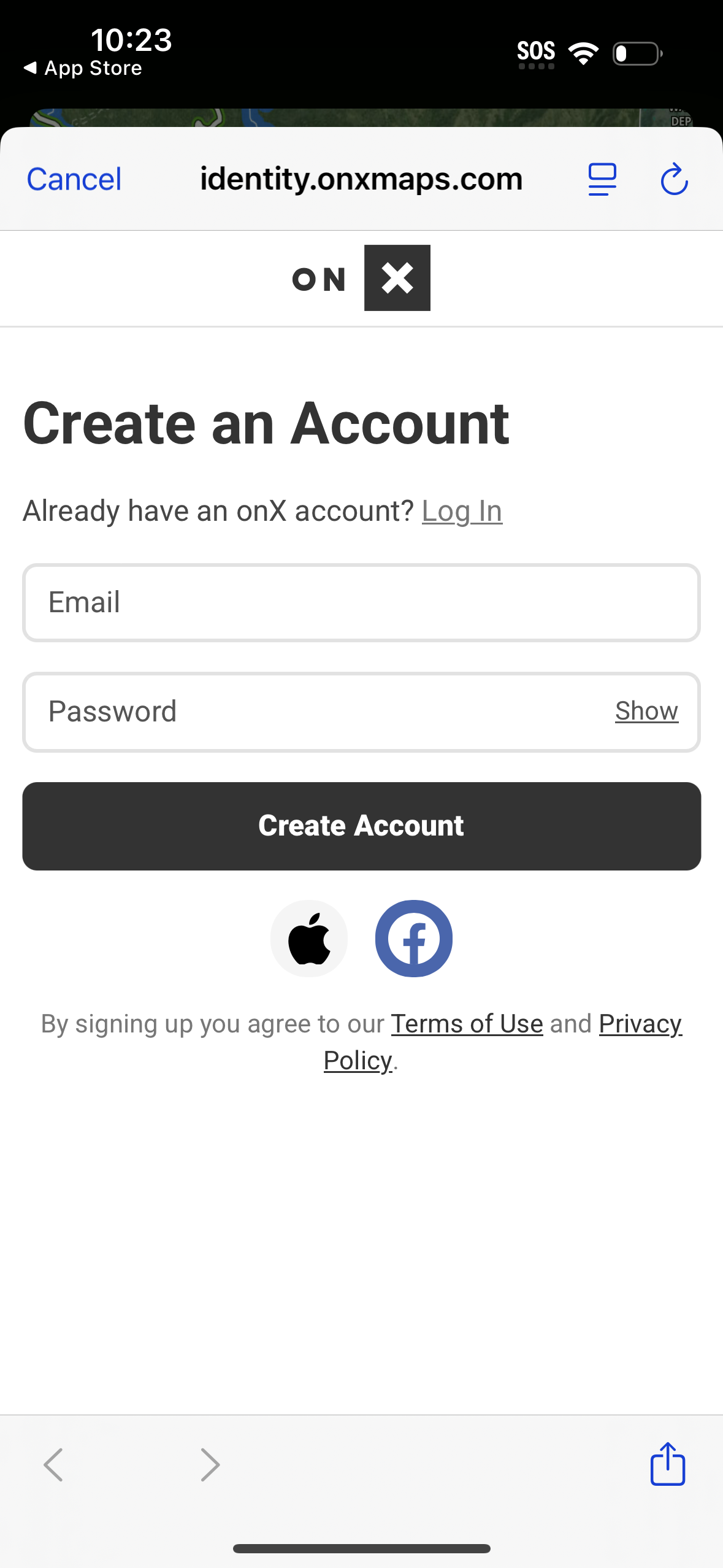
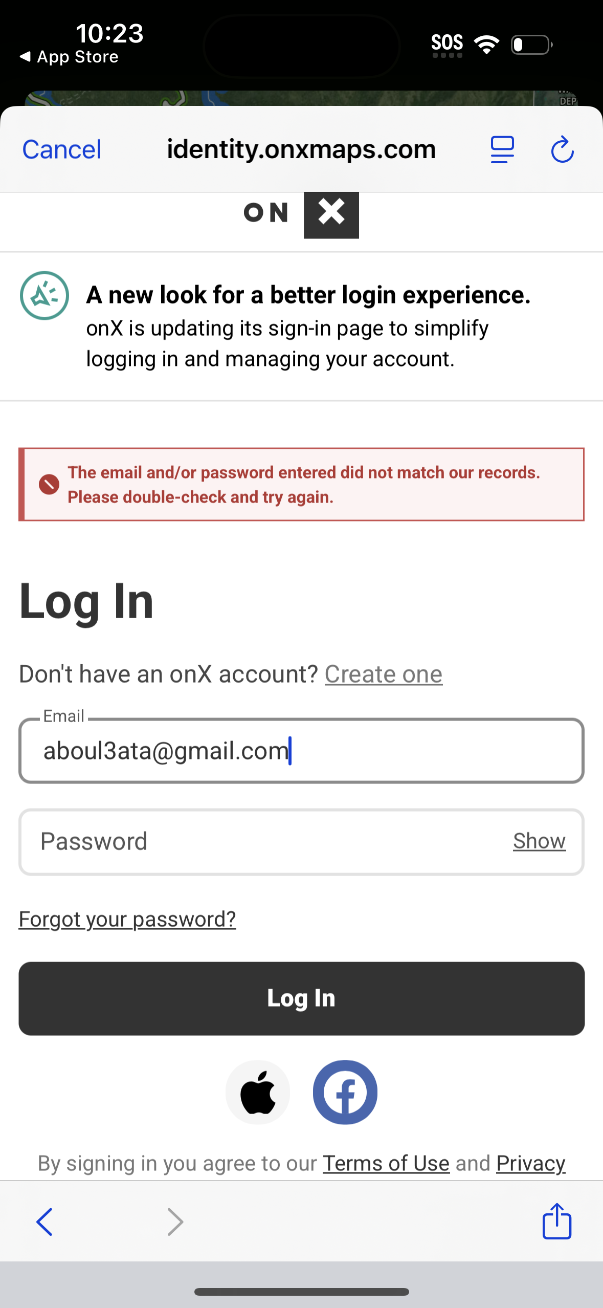
onx-offroad screenshots
Explore up to date login, profile, signup, verification, and messaging flows from onx-offroad and more on Lazyweb.
onx-offroad app screenshots and user flows
Browse onx-offroad screens, user flow examples, and UI patterns. Explore login, profile, signup, verification, and messaging flows inside Lazyweb's 100k+ screen design research library for competitive analysis and benchmarking.
Lazyweb is a blazing-fast design research library with 100k+ real app screens, user flow examples, UI patterns, and product design patterns for competitive analysis and benchmarking.
Screenshots
The first 5 screenshots are shown in full. Additional screens are blurred previews.


Company metadata
App Store description
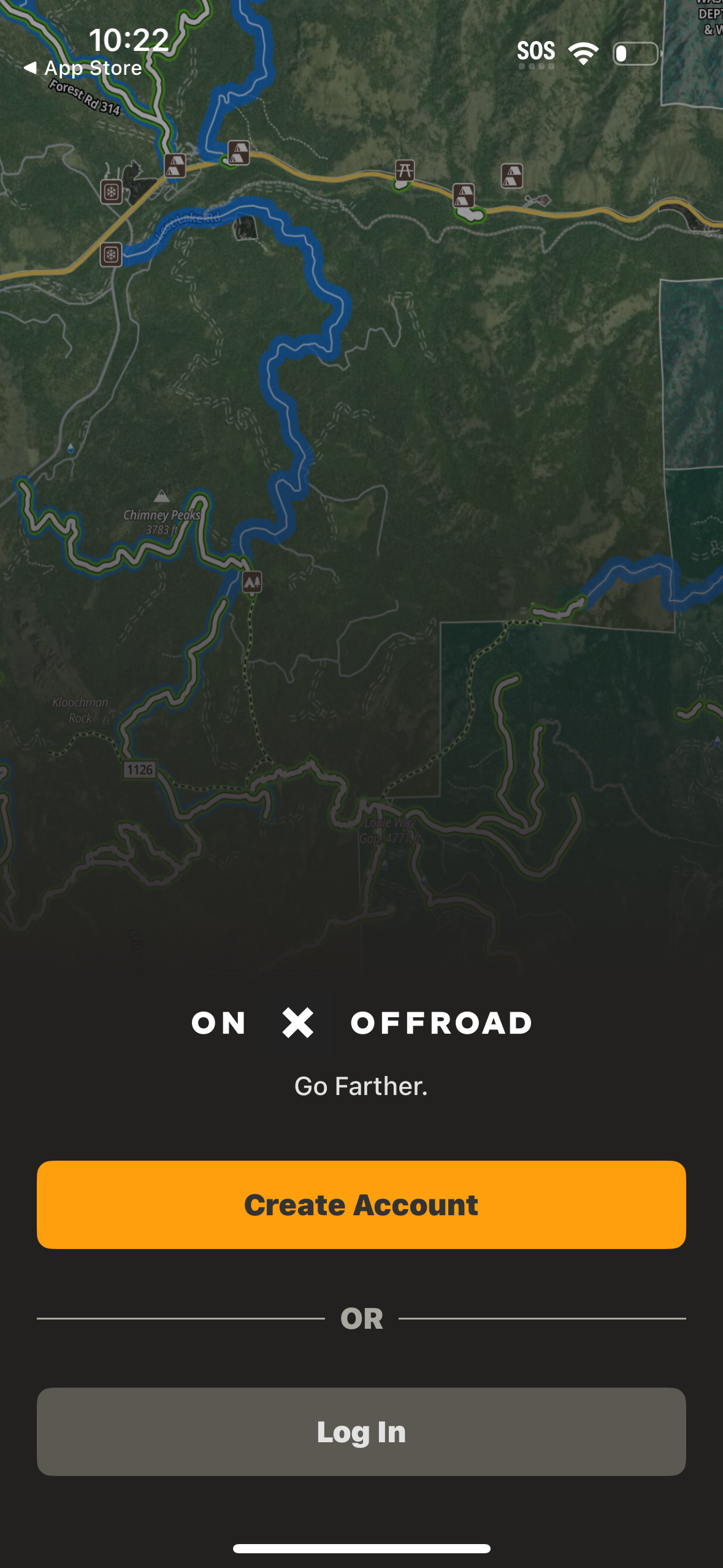
Navigate off-road and find the trails you’re looking for with onX Offroad. 3D trail maps, GPS mapping, and compass navigation — discover what’s open nearby or explore something new with ease. Filter trails by accessibility for 4x4, SxS, dirt bikes, moto, ATV/Quads, Overland, and snowmobiles. Identify legal, free off-grid camping areas in National Forests using USFS verified data with our Motorized Dispersed Camping Layer. Go off-roading with the tools you need, including property lines, private landowner information, and acreage. Track wildfire activity and stay safe during fire season with our built-in Active Wildfire and Wildfire Smoke Map Layers. Anticipate poor air quality and make informed decisions on the trail with NOAA’s Atmospheric Smoke Forecast data. Stay connected off the grid with Cell Coverage Layers that show up‑to‑date coverage for AT&T, Verizon, and T‑Mobile. Get directions from the tarmac to the trails with turn‑by‑turn navigation and sync onX Offroad with Apple CarPlay. Save Offline Maps to your phone or tablet. Find trailheads, trailer parking, non‑ethanol fuel stations, campsites, and more. Adventure starts where the pavement ends. Go where other maps can’t with onX Offroad.
Compare competitors with Lazyweb
Search every screen, flow, and UX pattern in one place.