
onx-backcountry screenshots
Explore up to date search, settings, profile, paywall, and onboarding flows from onx-backcountry and more on Lazyweb.
onx-backcountry app screenshots and user flows
Browse onx-backcountry screens, user flow examples, and UI patterns. Explore search, settings, profile, paywall, and onboarding flows inside Lazyweb's 100k+ screen design research library for competitive analysis and benchmarking.
Lazyweb is a blazing-fast design research library with 100k+ real app screens, user flow examples, UI patterns, and product design patterns for competitive analysis and benchmarking.
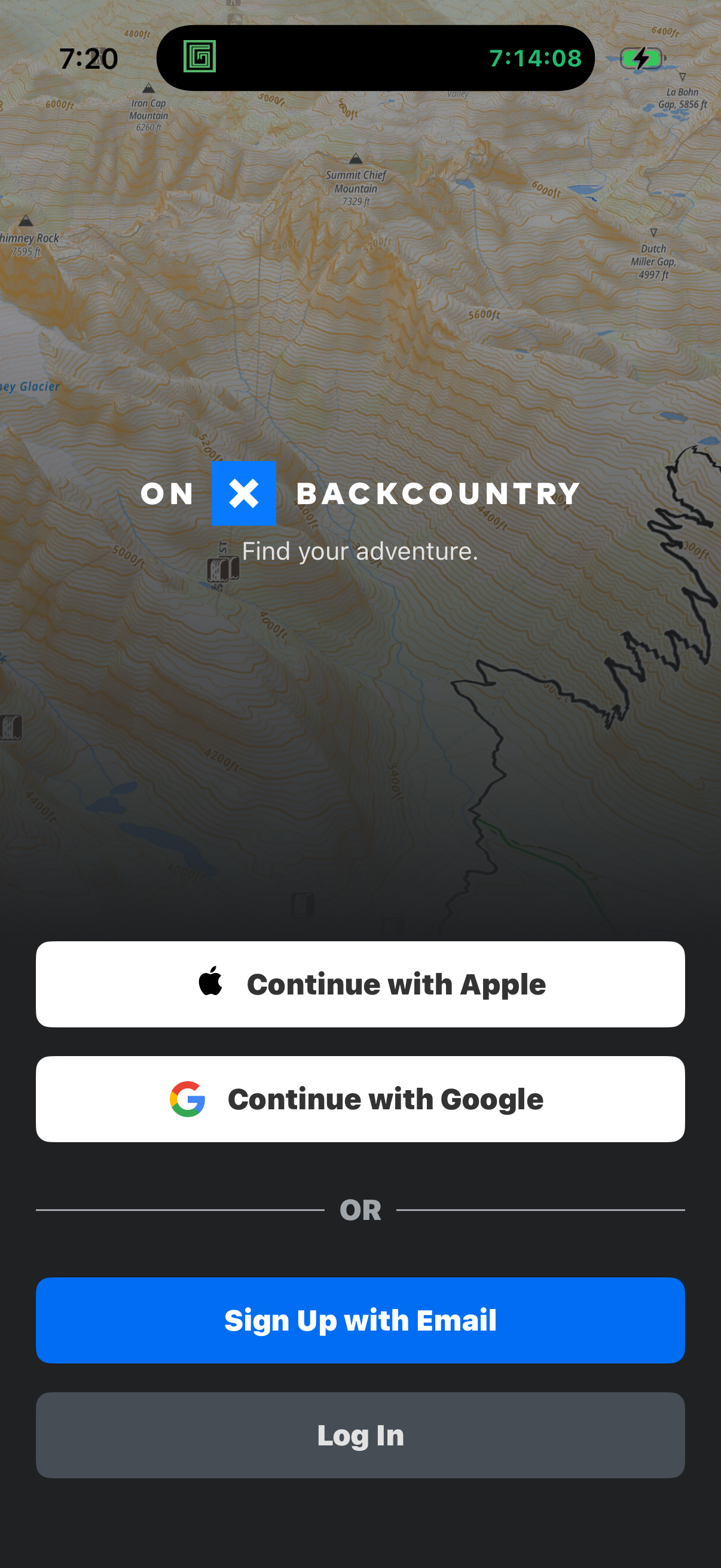
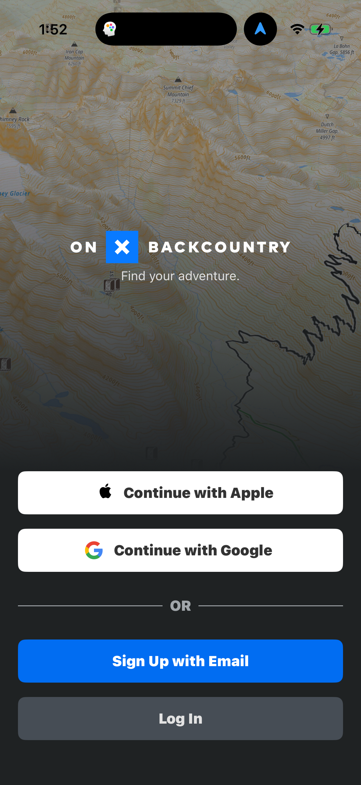
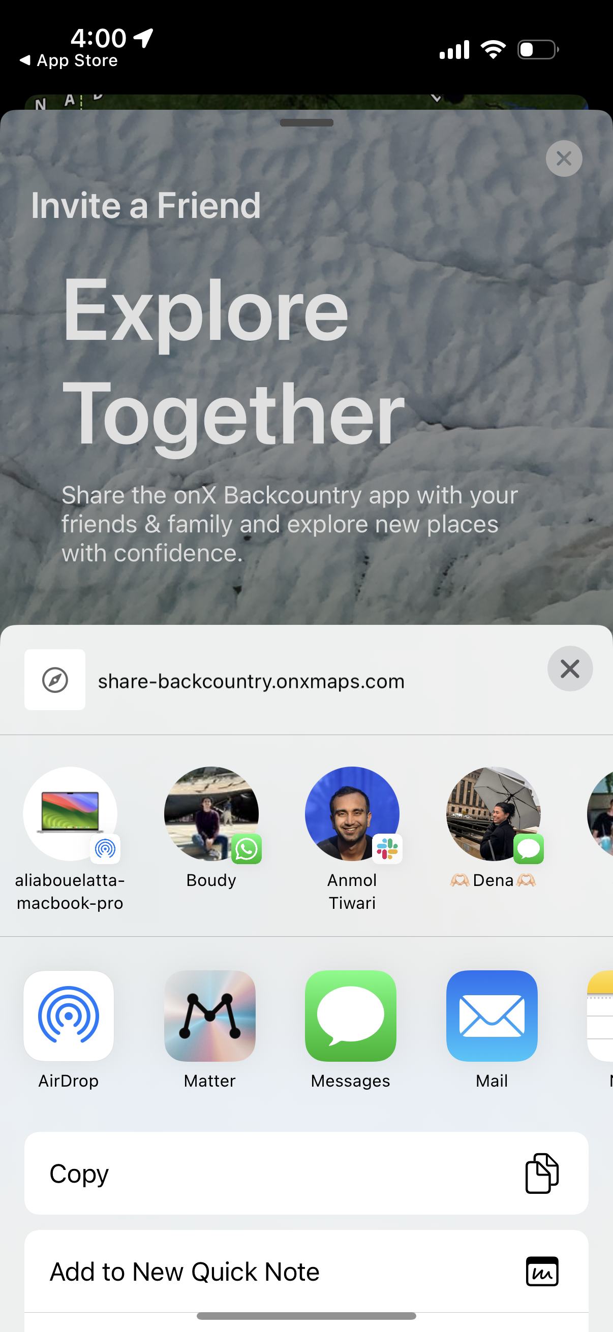
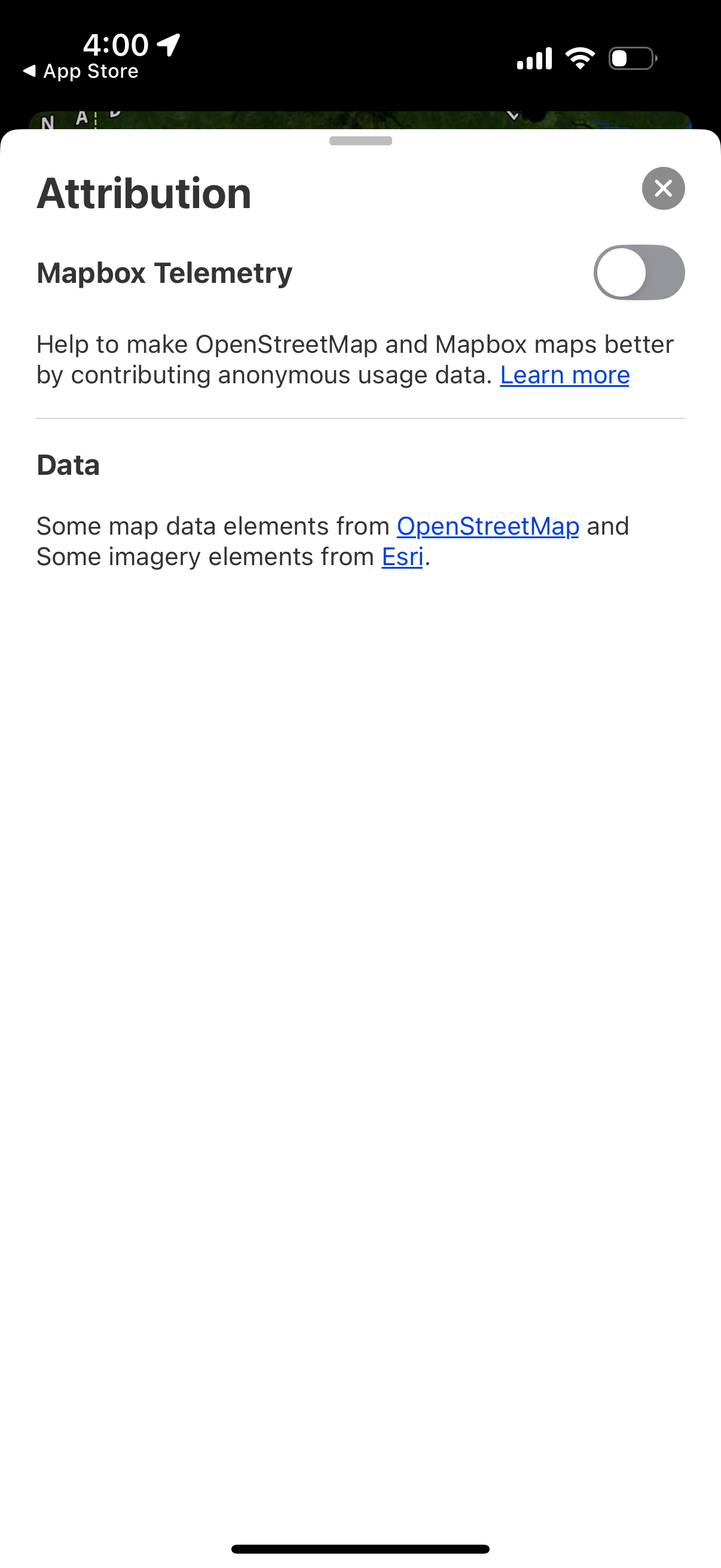
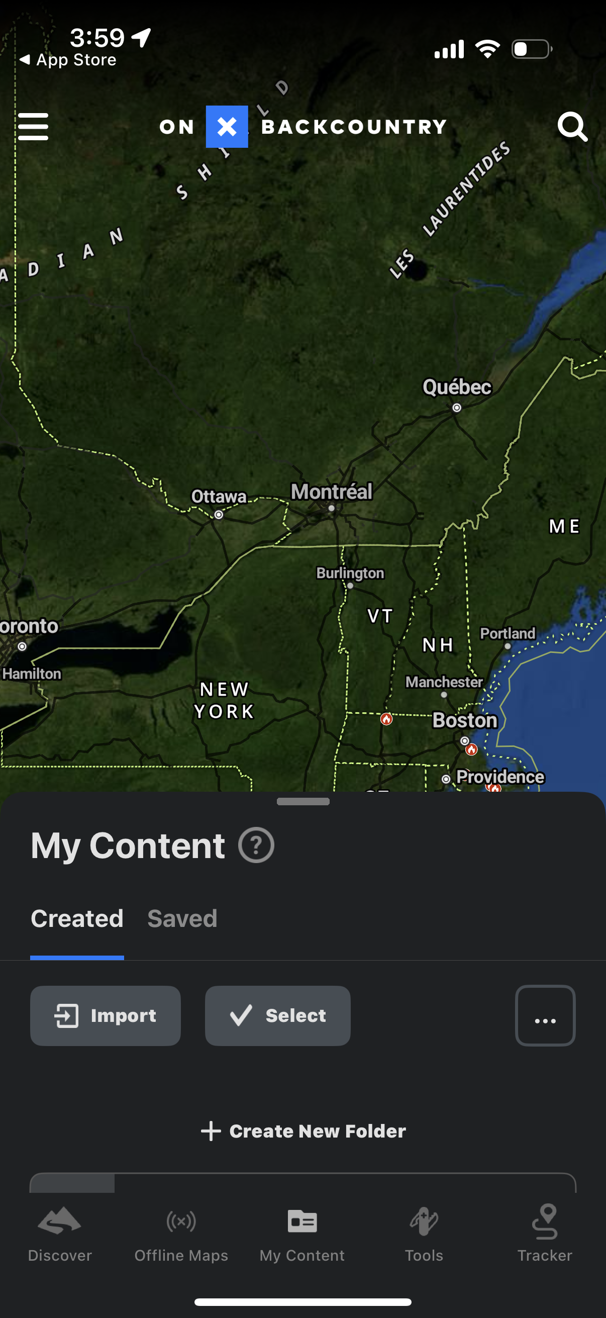
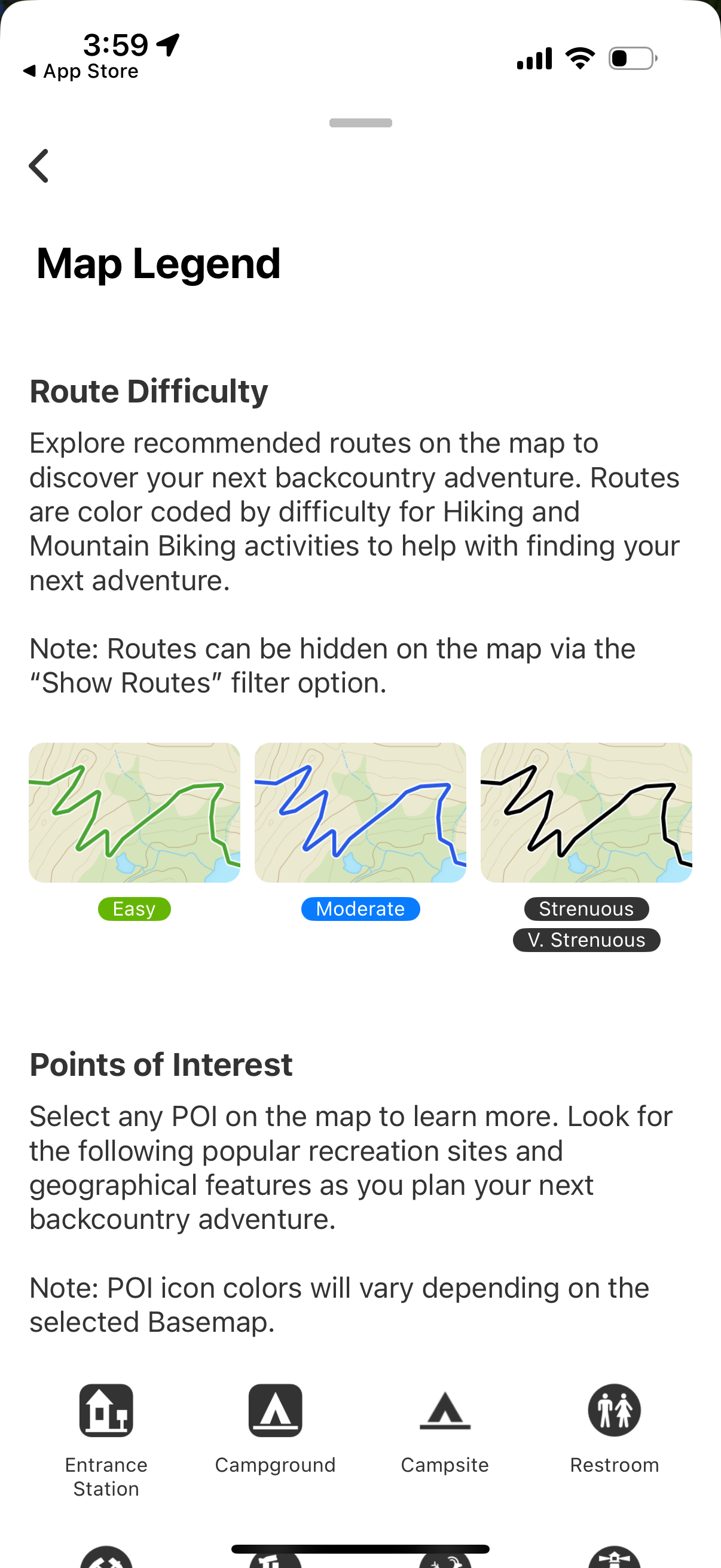
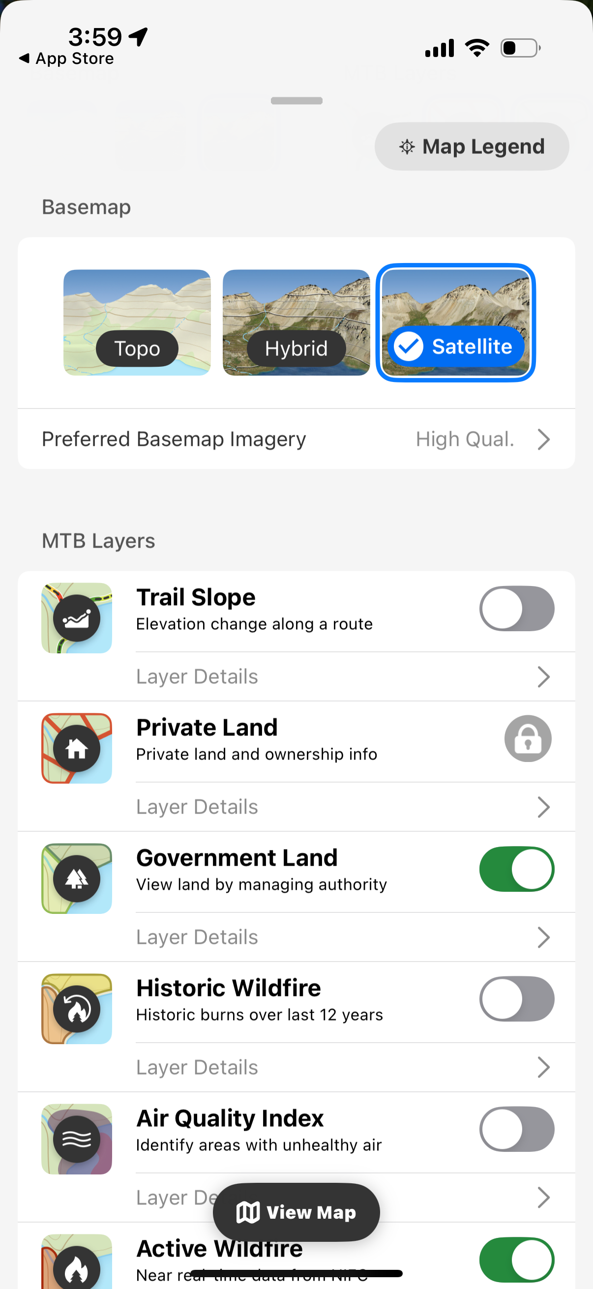
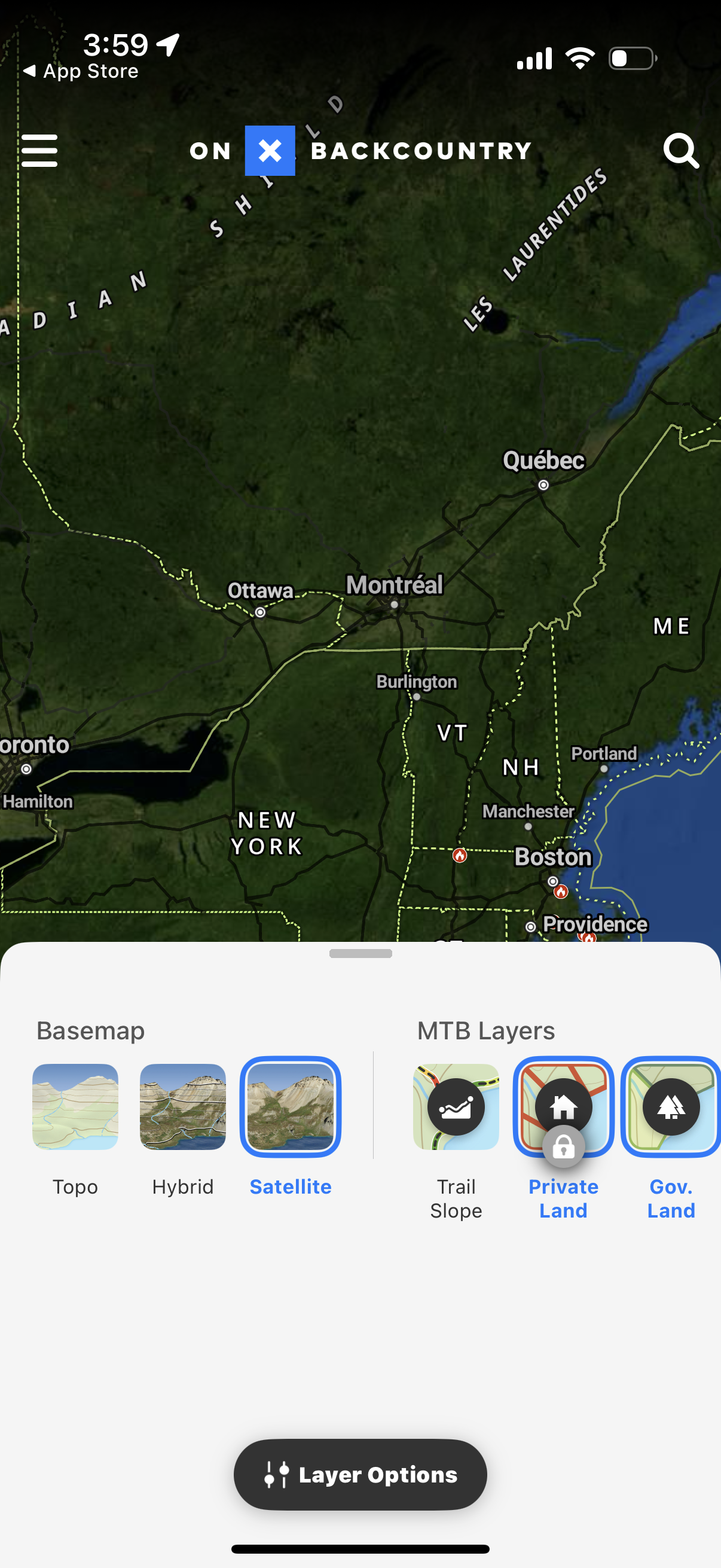
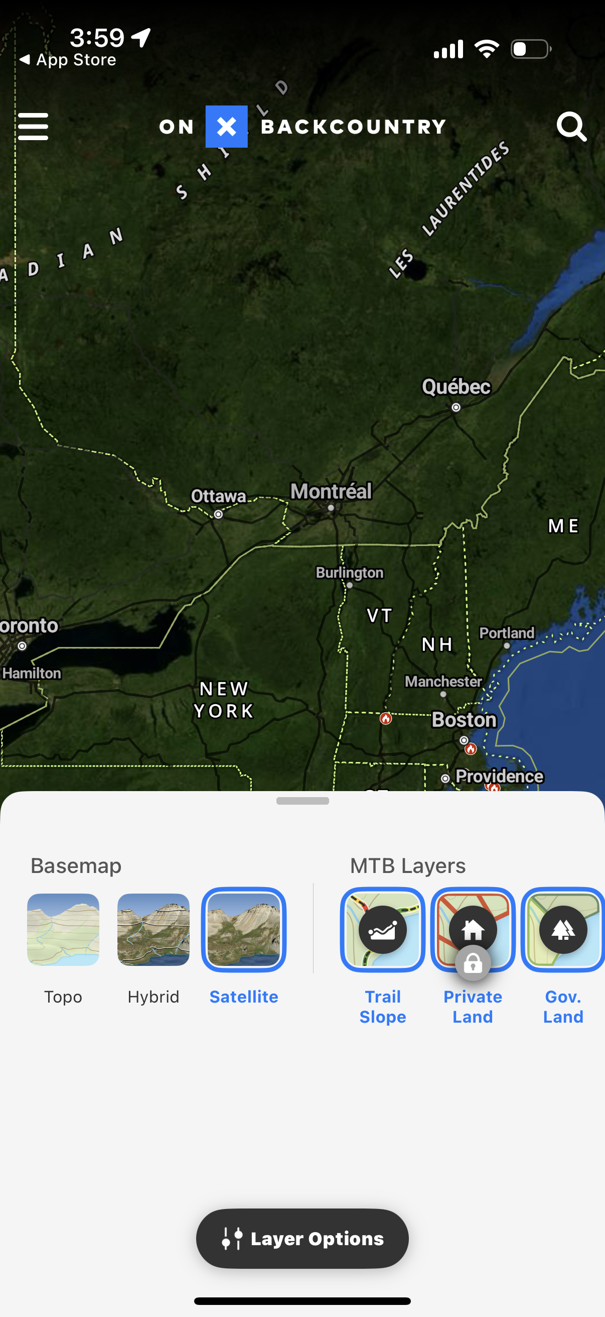
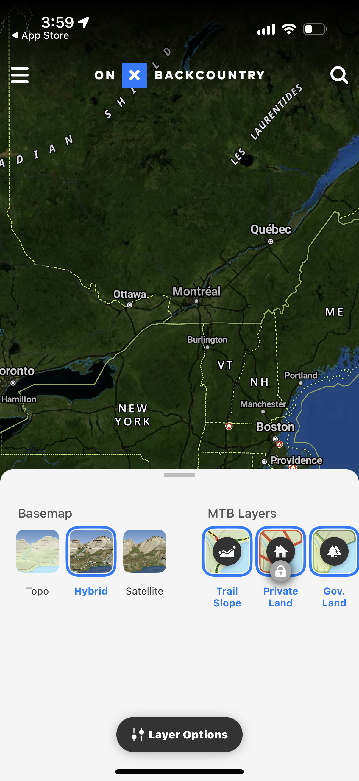
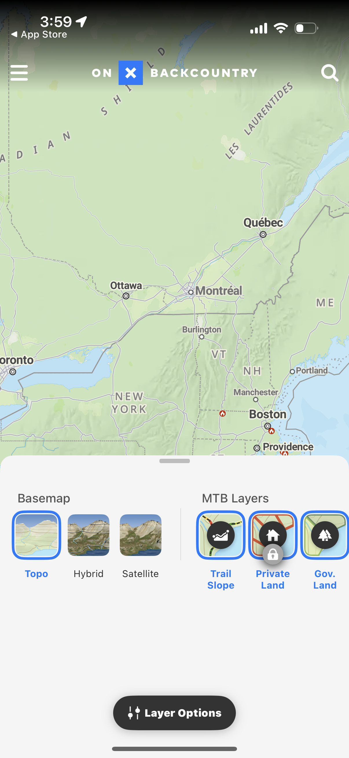
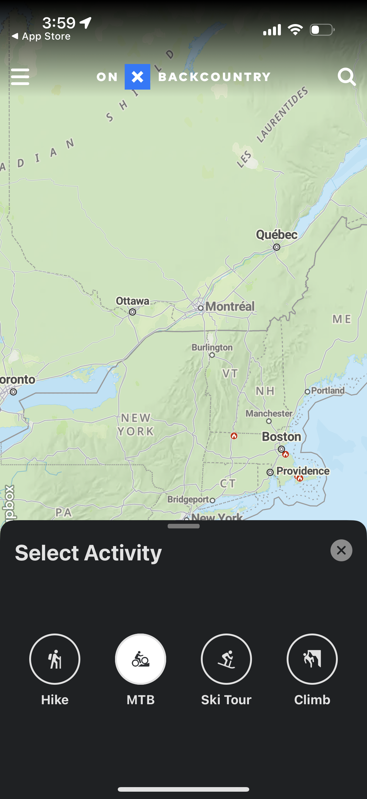
Screenshots
The first 5 screenshots are shown in full. Additional screens are blurred previews.


Company metadata
App Store description
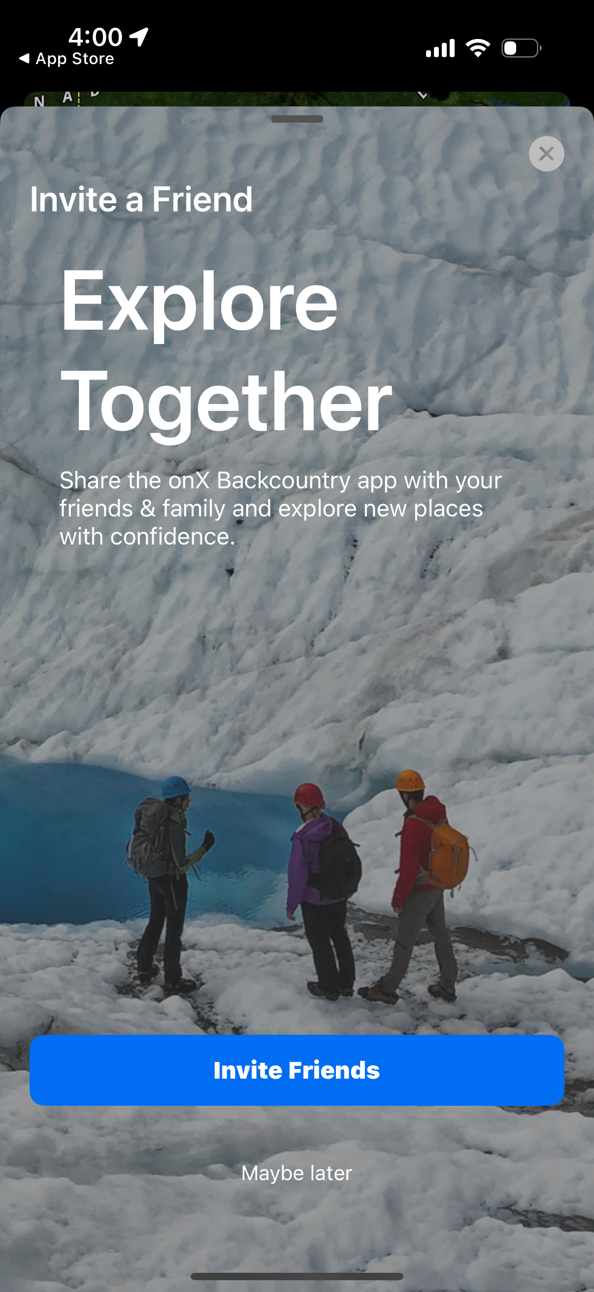
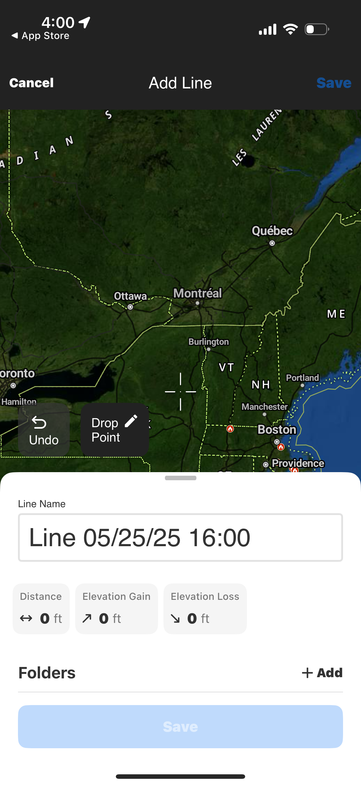
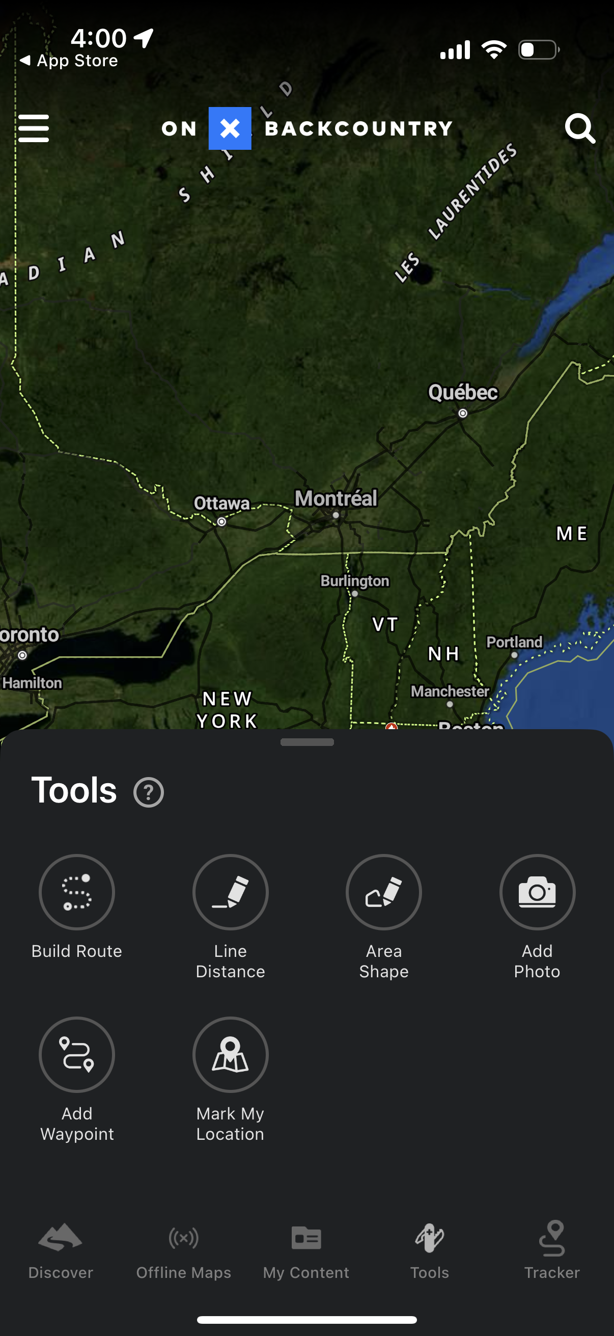
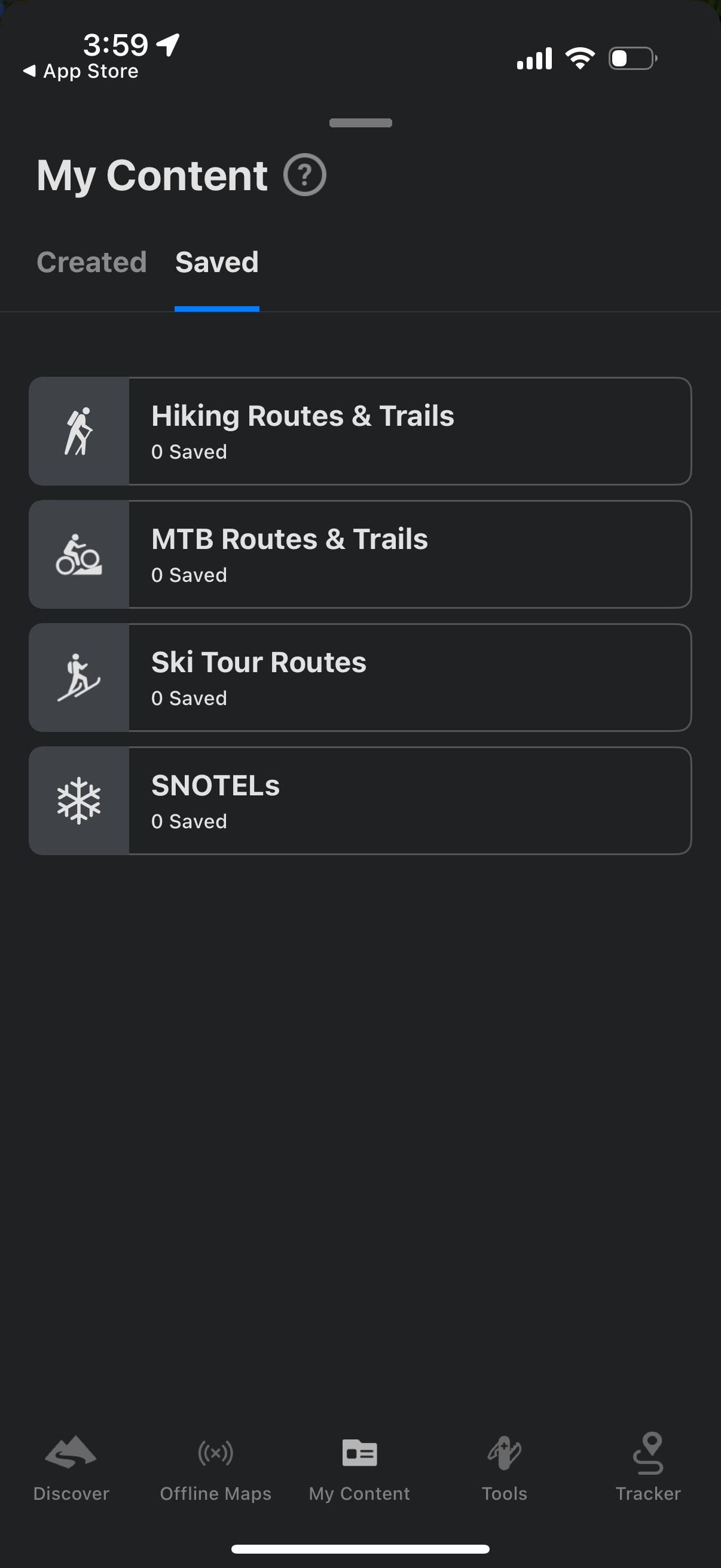
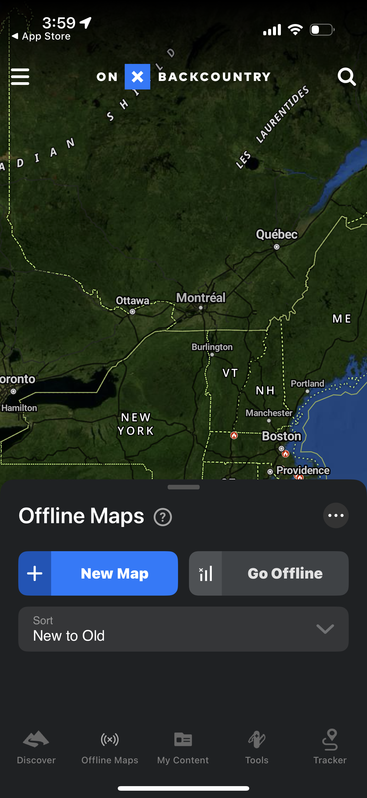
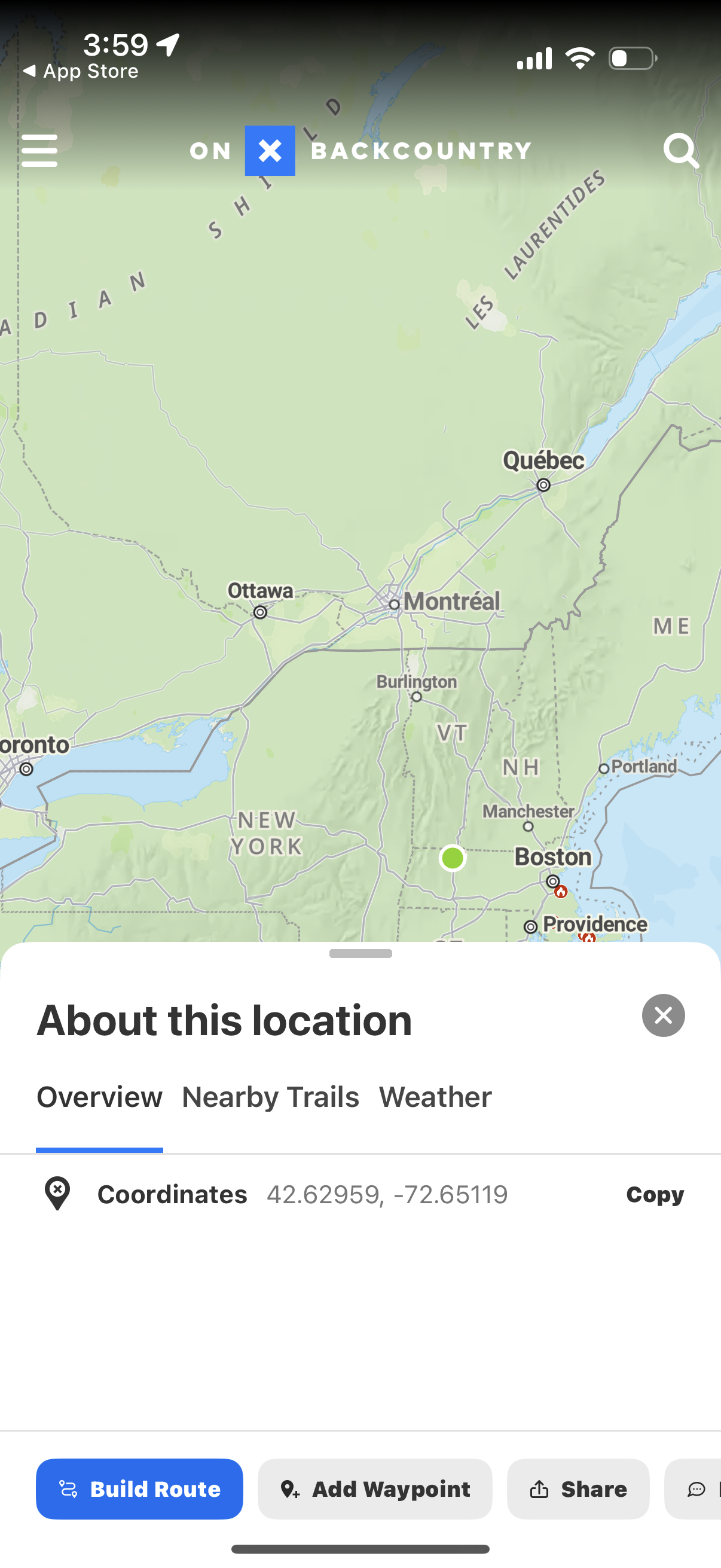
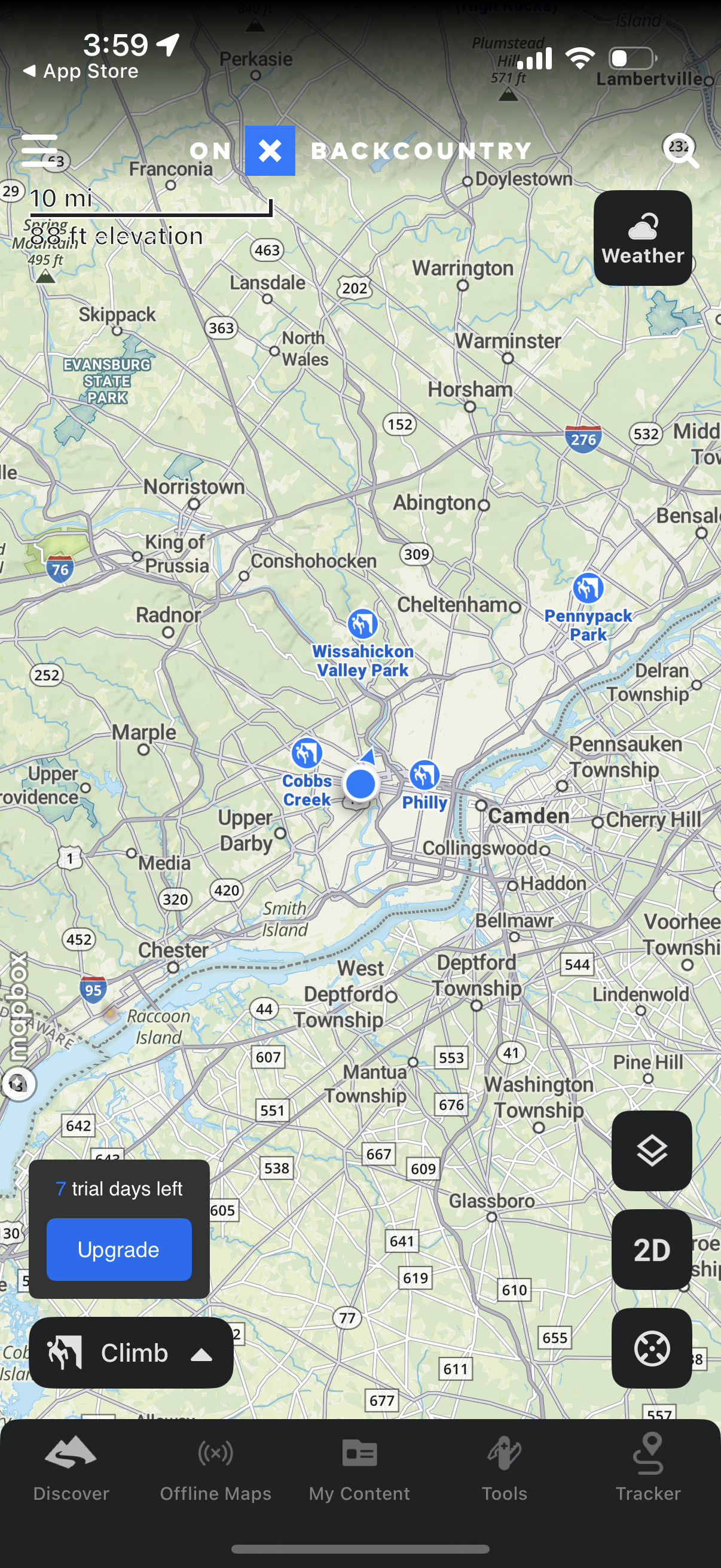
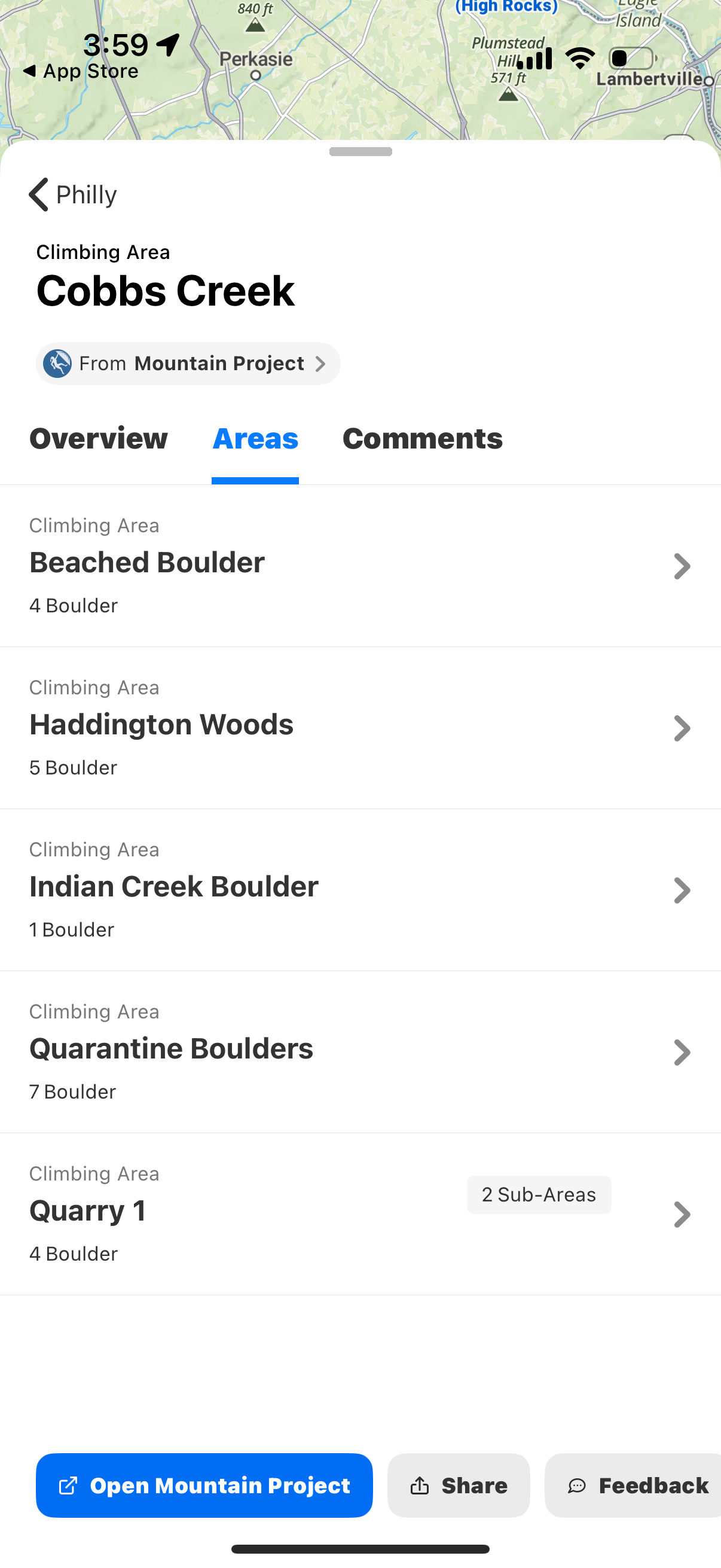
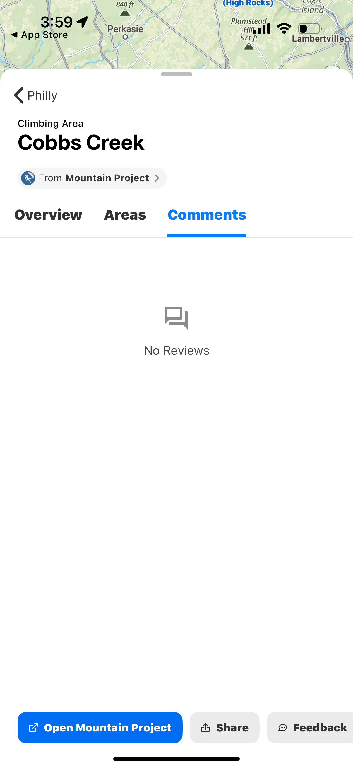
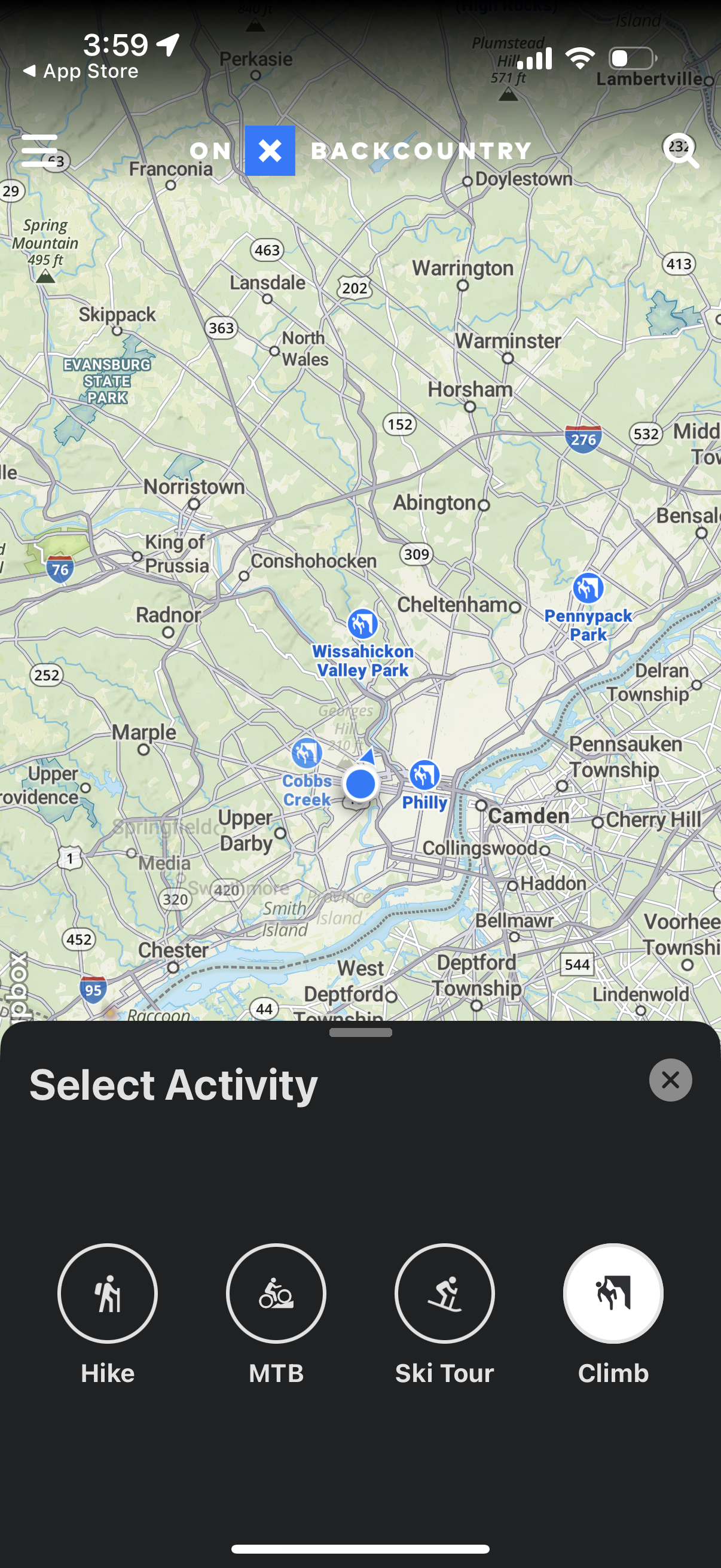
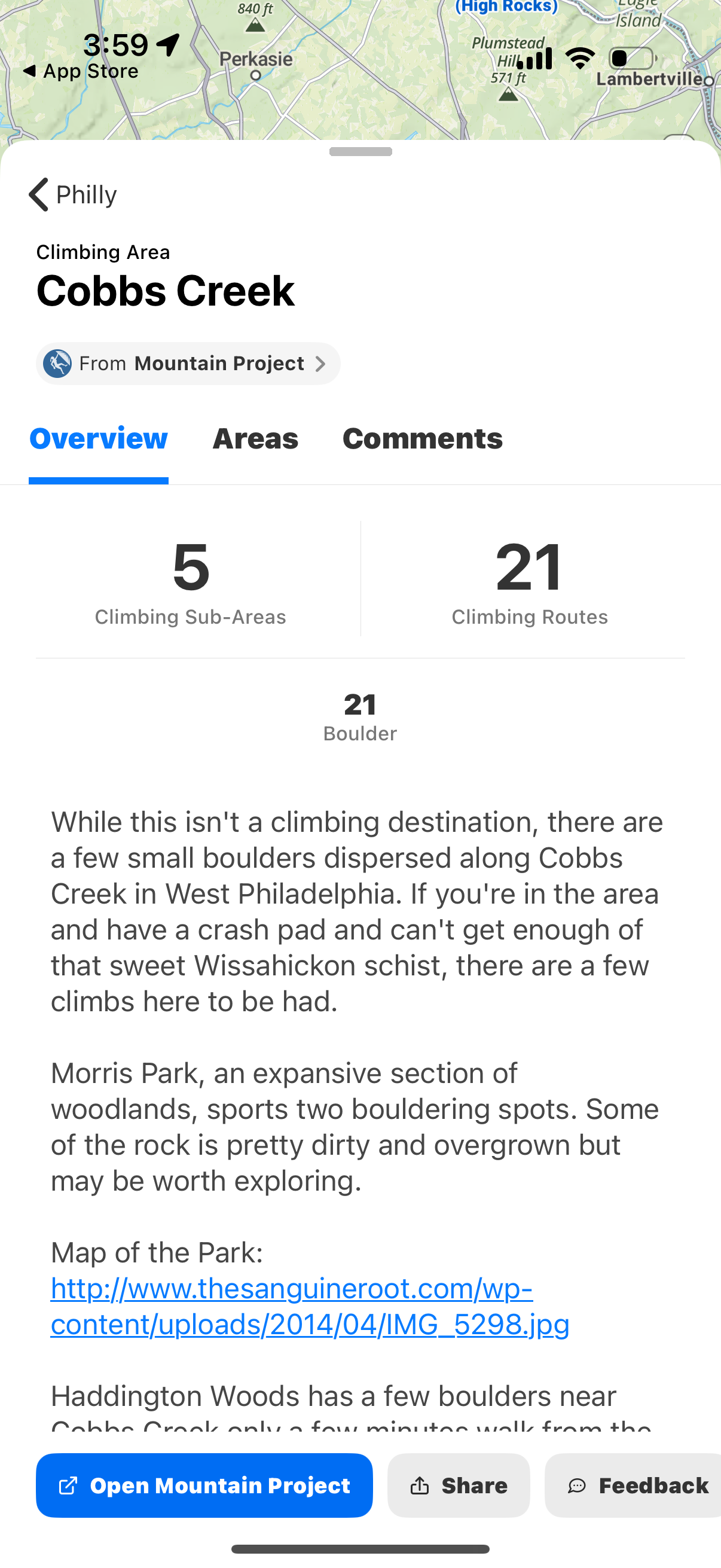
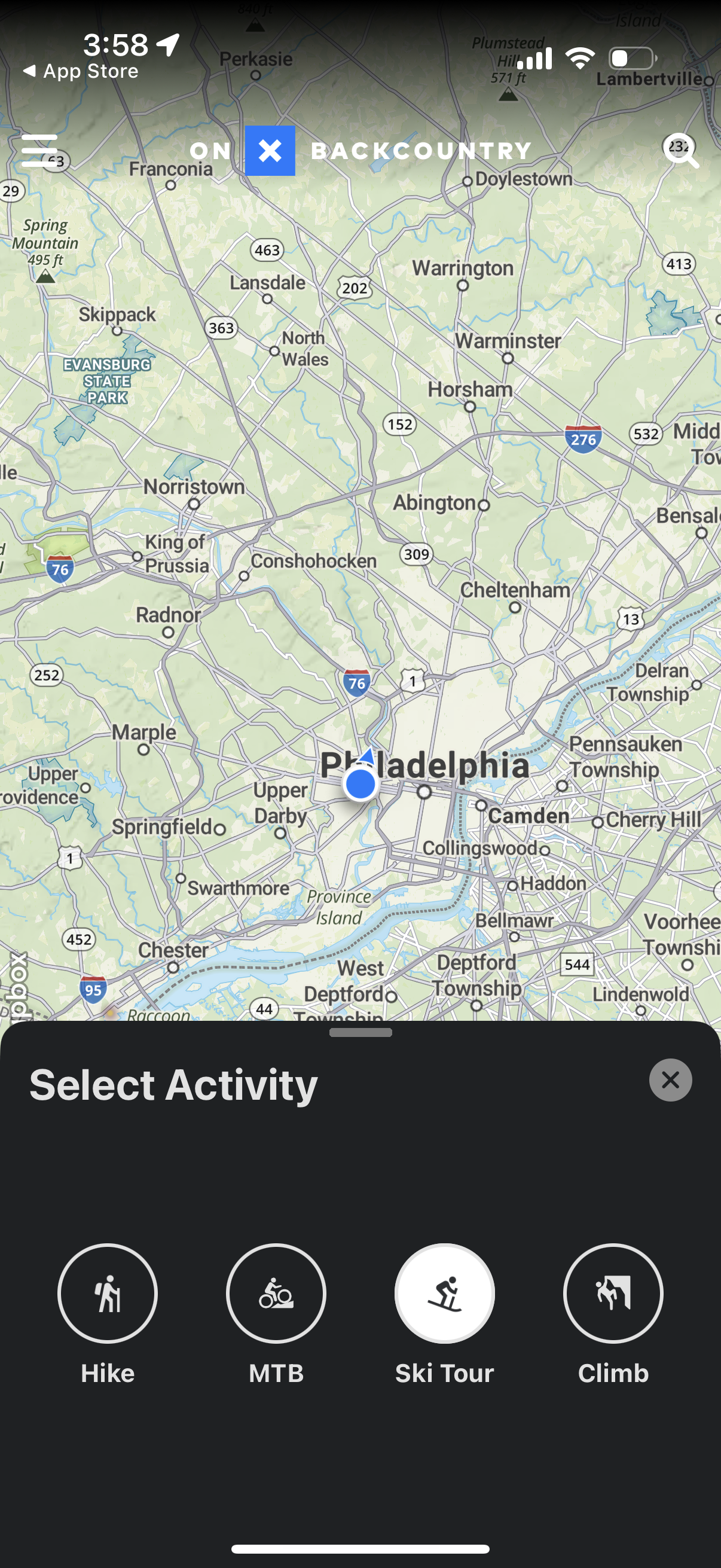
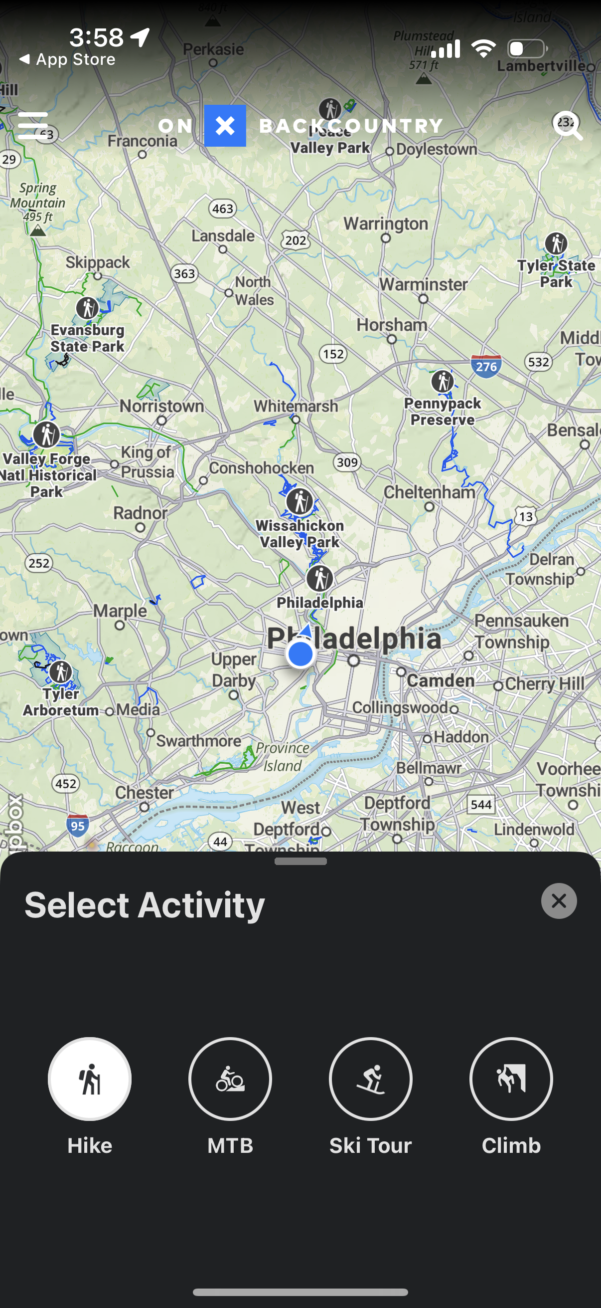
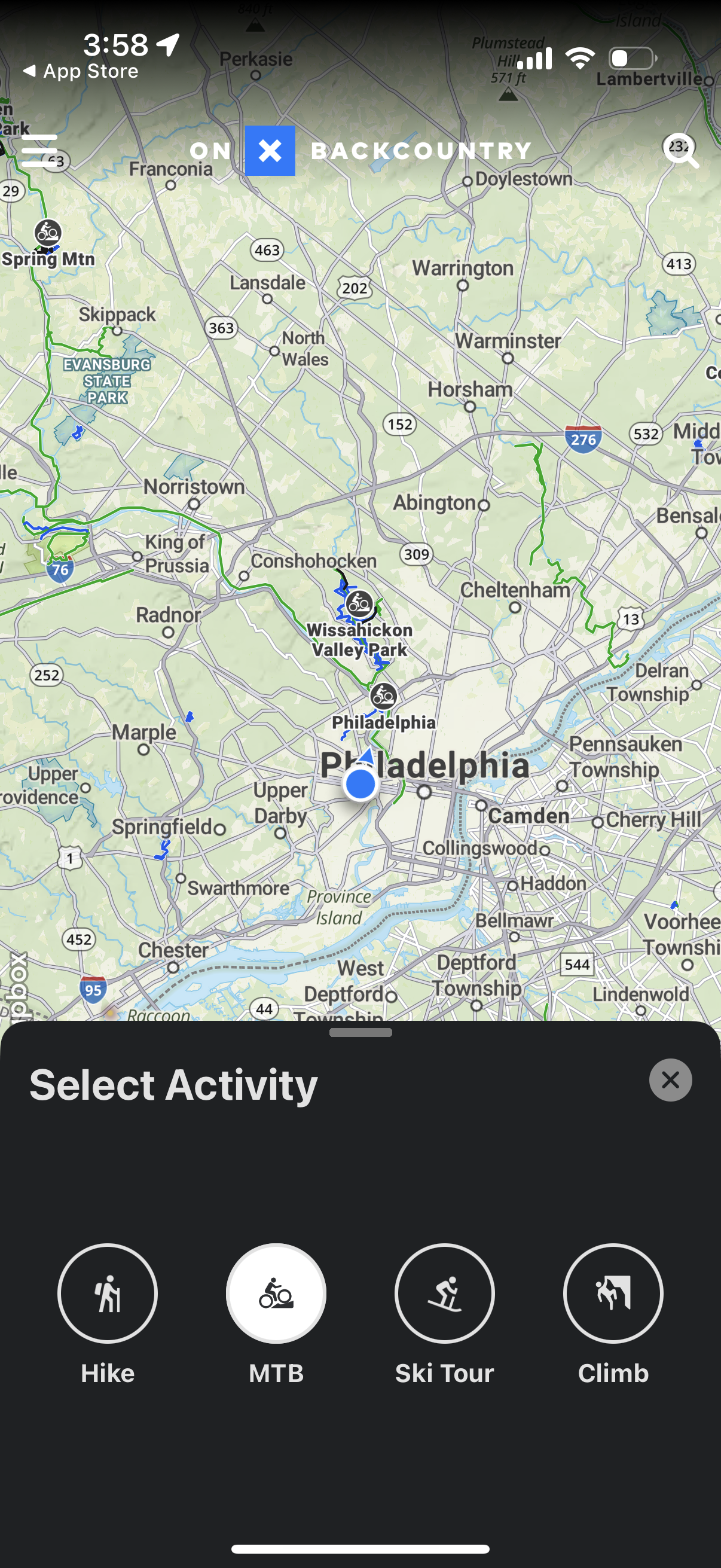
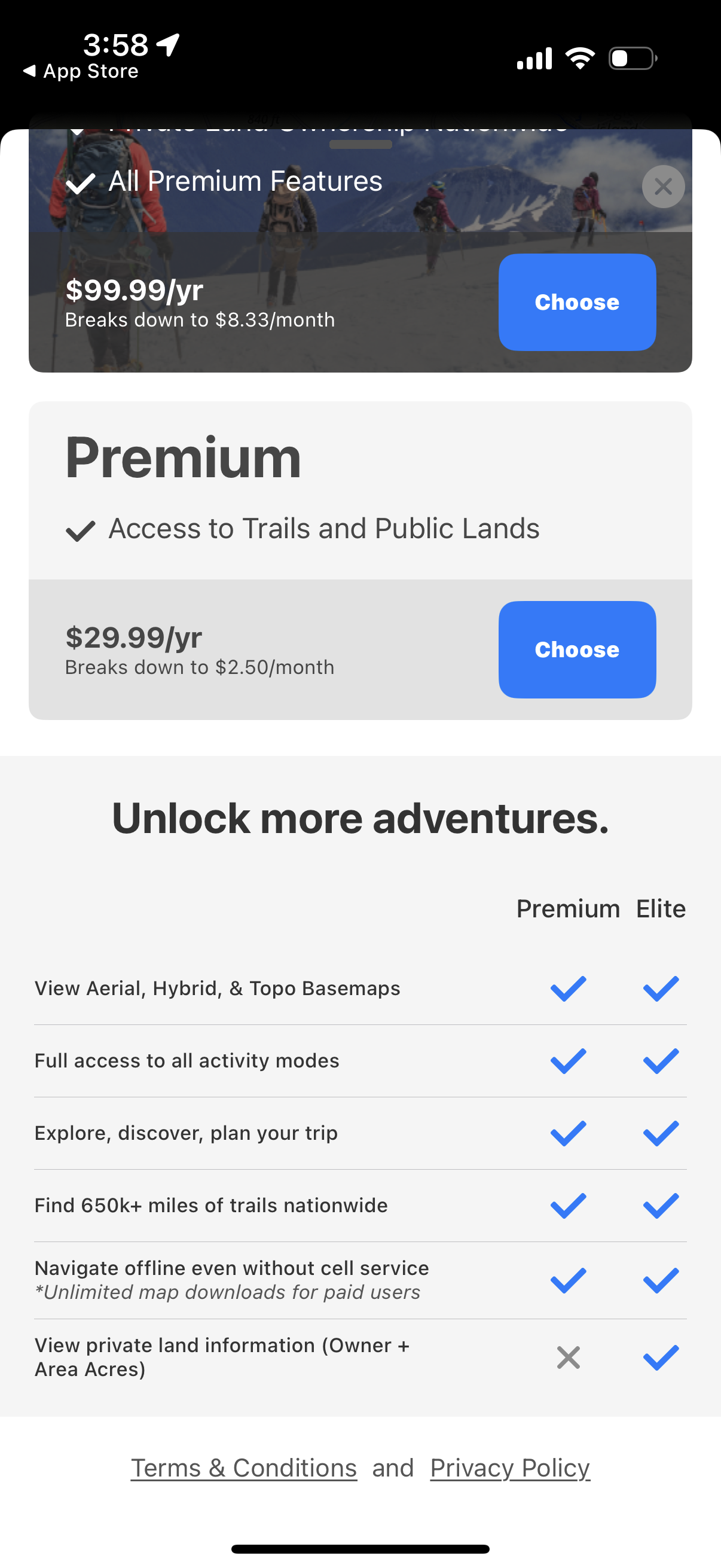
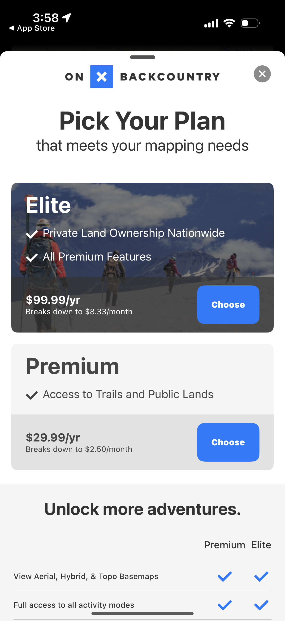
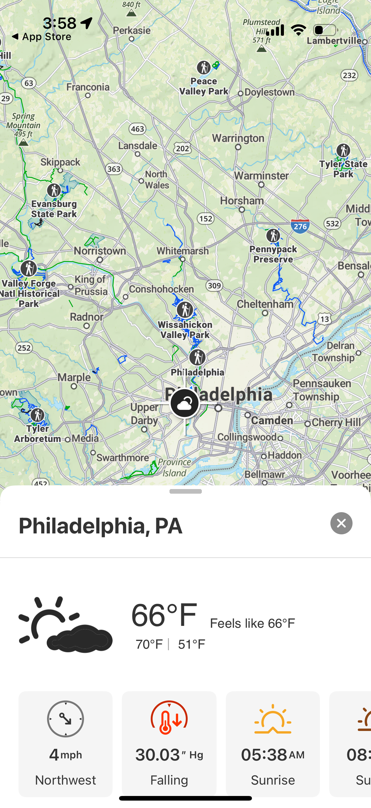
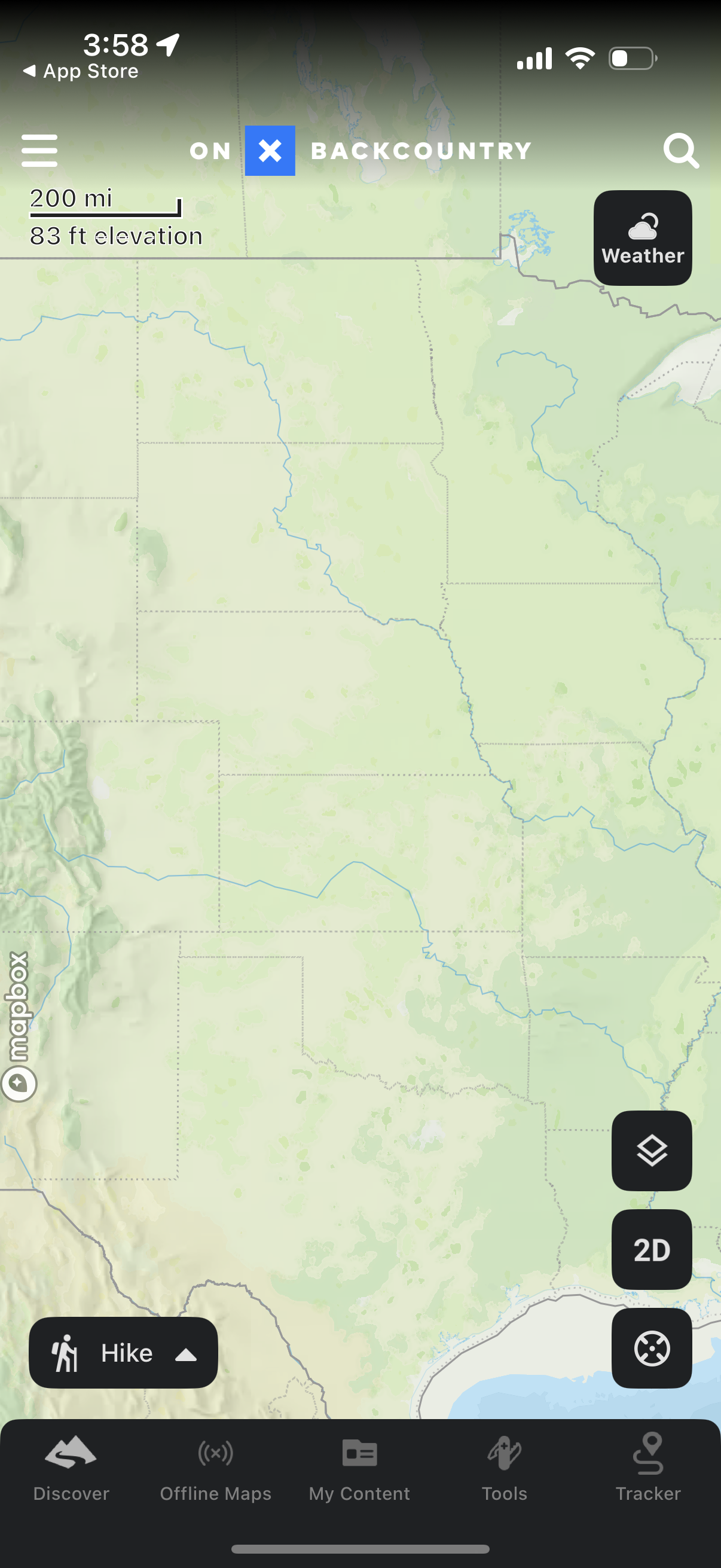
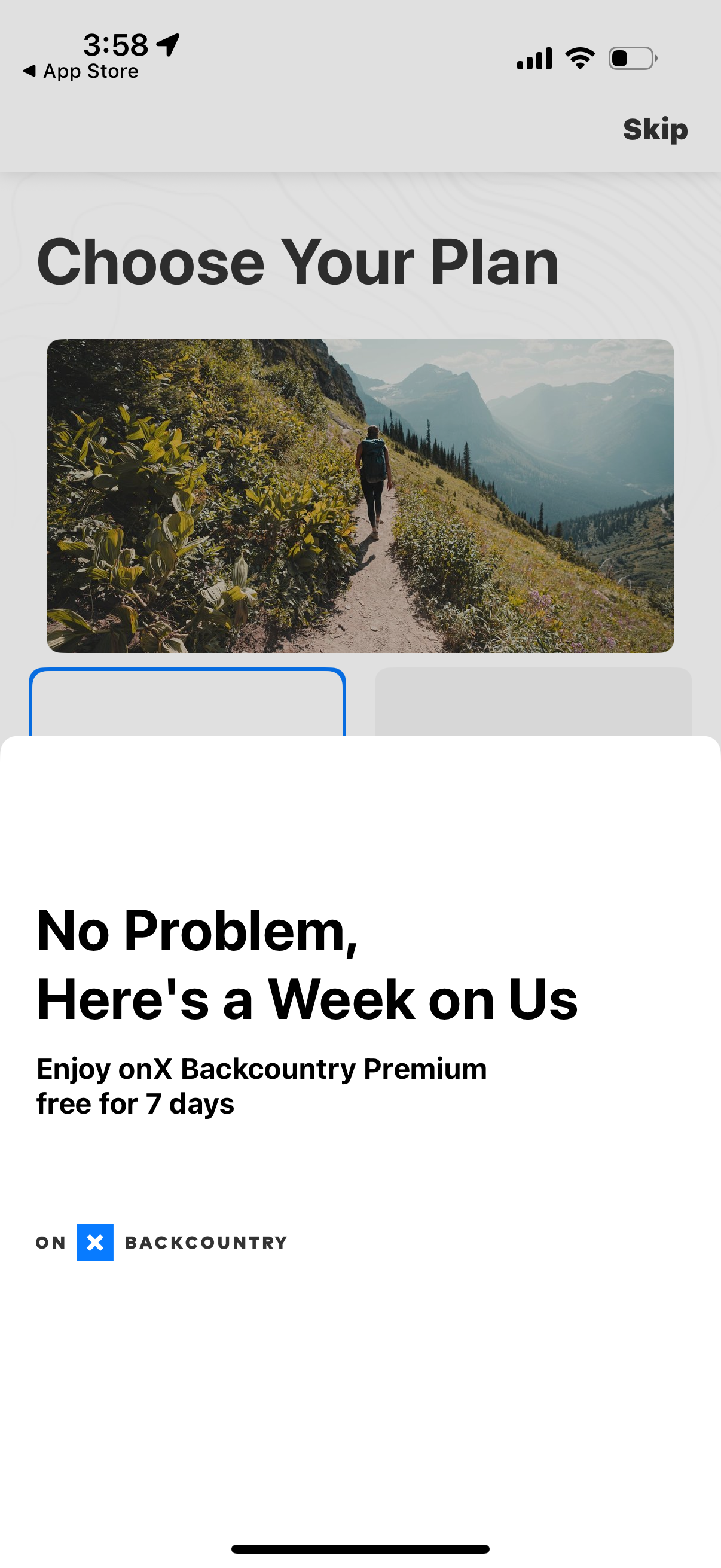
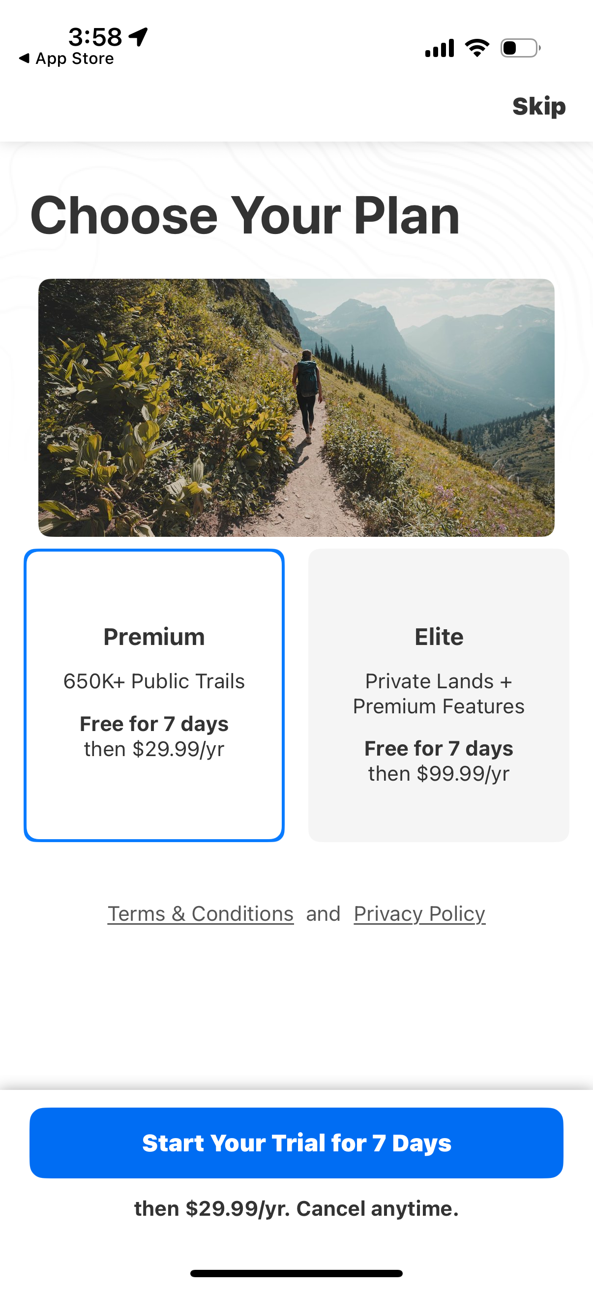
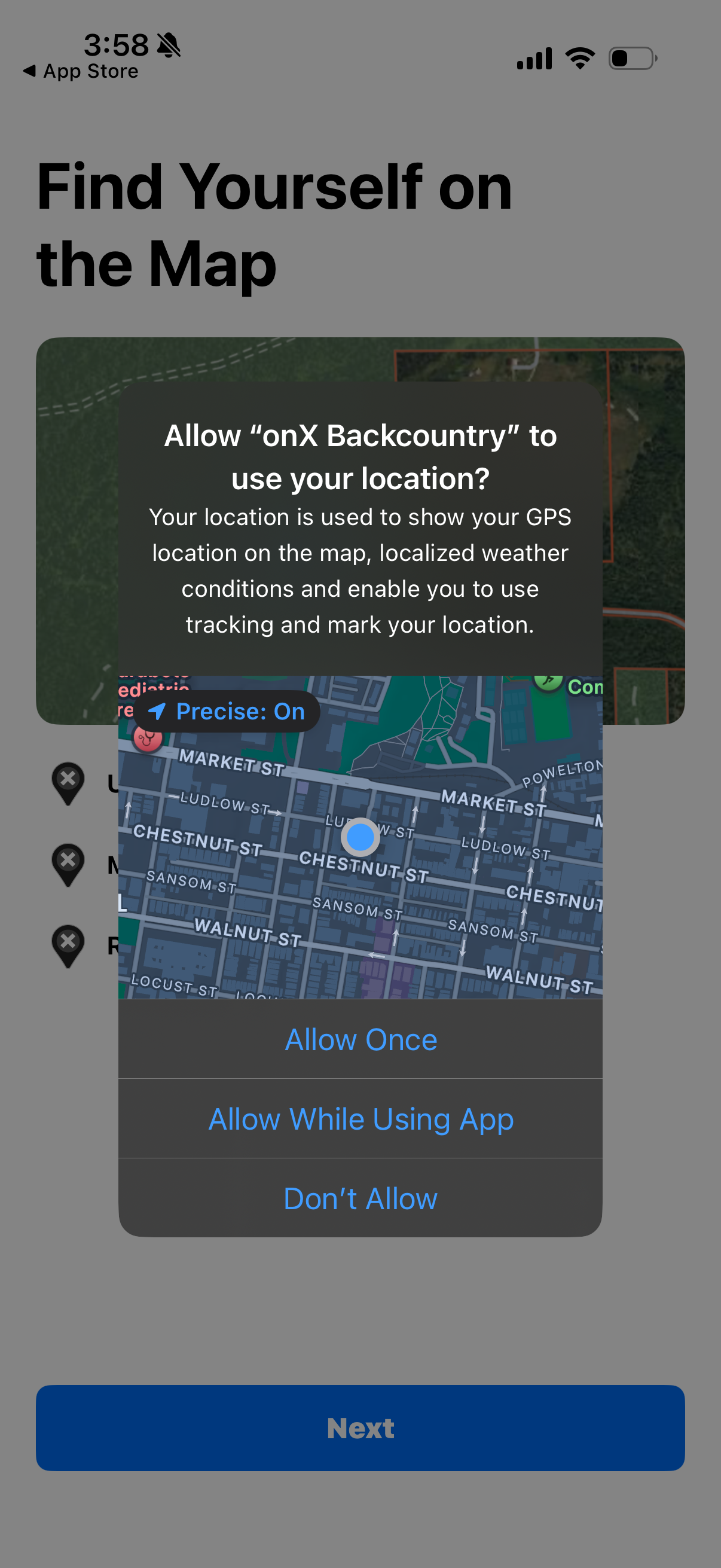
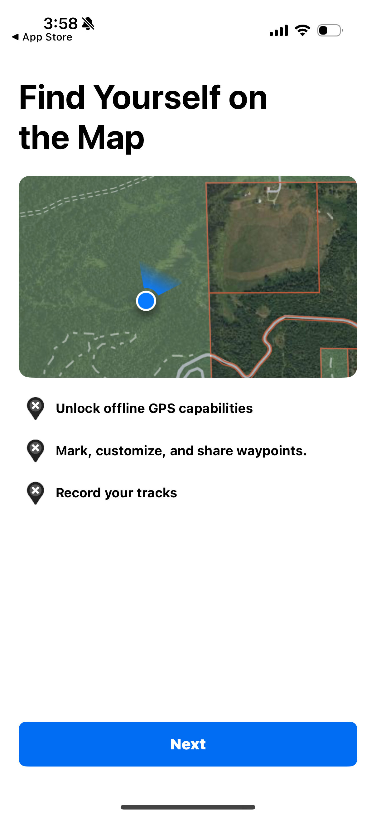
Discover new trails and backcountry skiing lines. Navigate through hikes, climbing routes, and mountain bike trails. Whether you’re scouting new terrain or navigating maps in the field, onX Backcountry is the ultimate app for offline outdoor recreation. Plan your hiking, skiing, mountain biking, or climbing activities with trustworthy data. Access HD topographic maps, GPS tracking, and trail reports to navigate confidently in unknown terrain. Toggle map layers to show nearby hazards such as wildfires or avalanches. Measure distance and elevation, and visualize your trip in 3D, even without cell service. Discover adventures nearby with 650,000+ miles of trails, 300,000+ rock climbs, and 4,000+ ski routes. Premium & Elite Features • 650,000+ miles of running, hiking, backpacking, skiing, and mountain bike trails • 4,000+ backcountry skiing lines with guidebook descriptions • 300,000+ rock climbing routes with approach trails • Save unlimited 3D Offline Trail Maps to navigate without cell service • 24K topographic maps and 3D maps for the entire U.S. • 985 million acres of Public Land across the U.S. • 550,000 Recreation Icons: Trailheads, backcountry cabins, campgrounds, and more
Compare competitors with Lazyweb
Search every screen, flow, and UX pattern in one place.